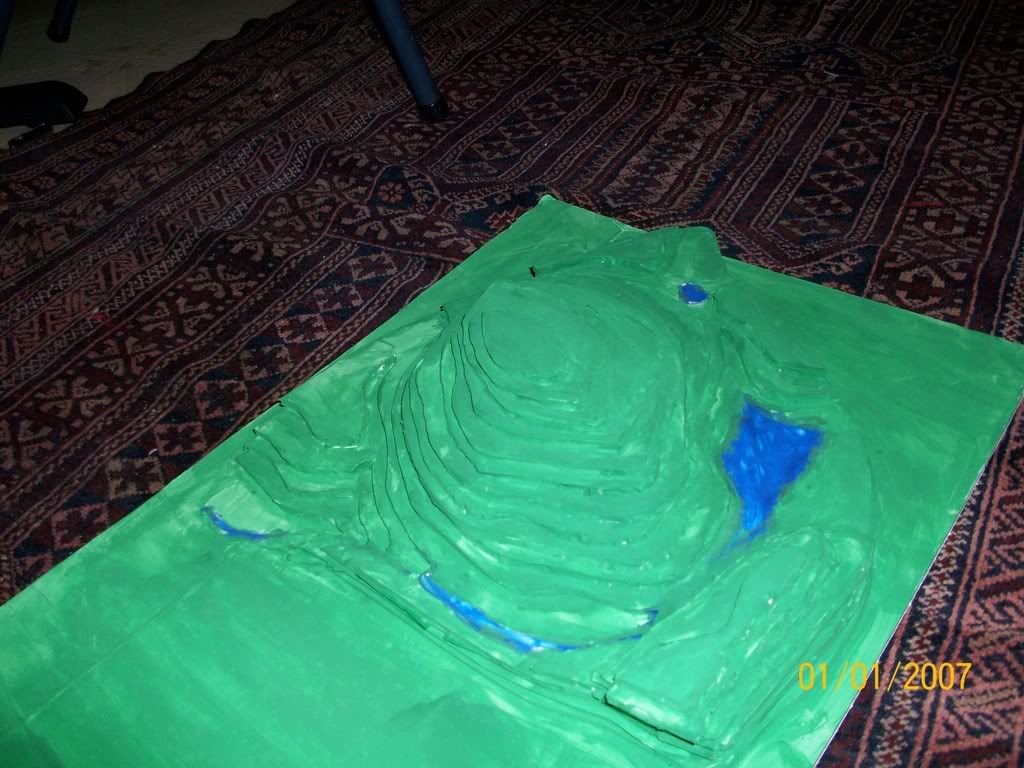
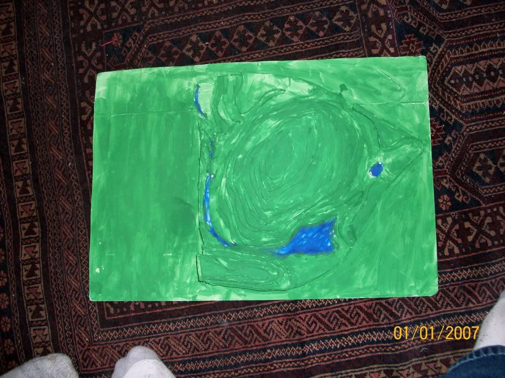
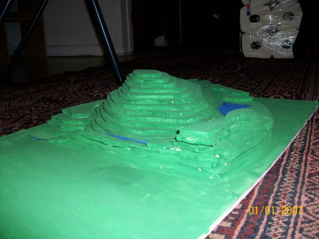
Hi all! I wanted to post up pictures of a topographic model of my site that I made during the ice storm that kept us bored for a few days... We printed a big topographic map of the property and cut out and labeled each elevation line. I then traced and cut out each level of elevation in foam board and glued it all together. The next thing was to paint in the natural water flow of the site, you can see the large pond that is painted in and the stream that flows into it from the rest of the property. The edges of the model are the two roads that border the property. There isnt a key for the model yet, but this is a model of 50 acres of pine forest and pasture at the lower levels.


2 comments:
Great snowy day project! very inspiring! -Kay Cafasso
That is amazing!! Can you bring it in this weekend? (Sorry this comment is so late, but if you get it, we would love to see it)
Post a Comment